What we do and why we do it, to make the world a better place
For those who’ve been following our work in the last year, it’s clear, that the aim of Route4U is to make the lives of people with disabilities better. But maybe even these followers of ours haven’t realized, that our solution’s impact on the whole of society is significant.
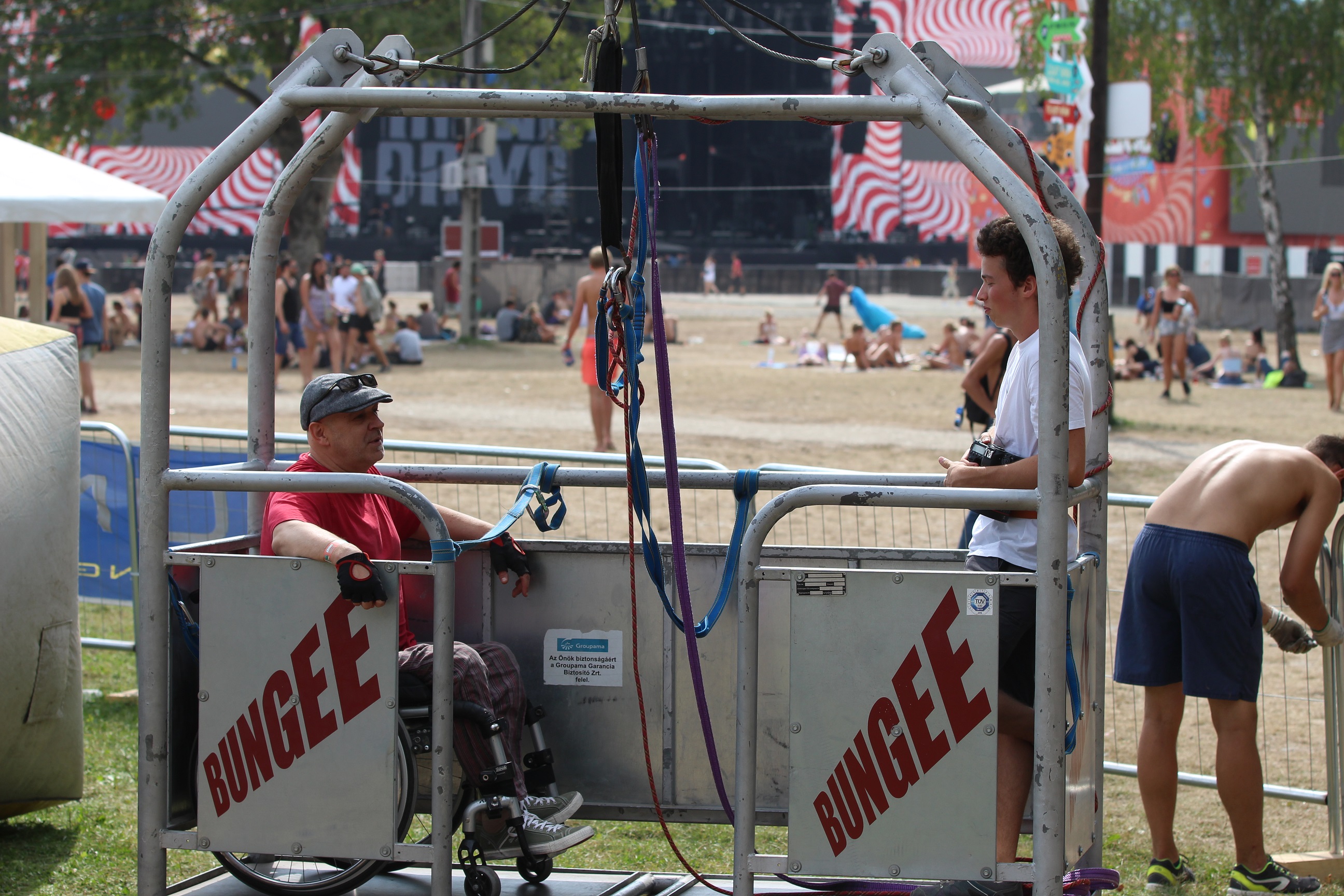
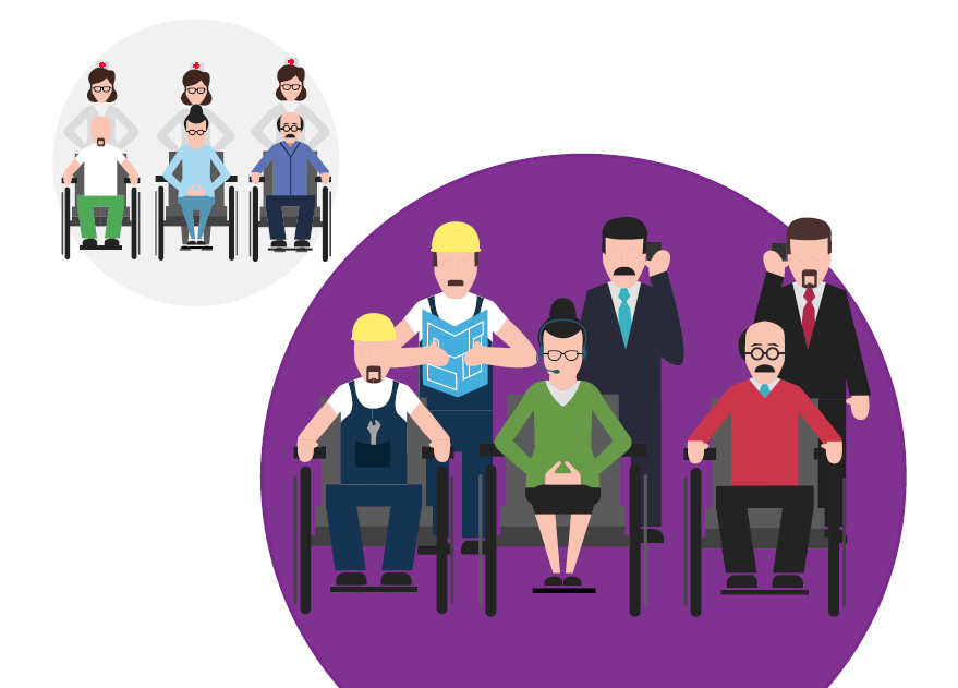
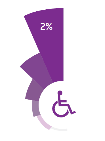 Today 2% of Hungary’s population is with reduced mobility. In towns and cities – since conditions are better – their percentage of the population is even higher. Based on census data, only 7% of working-age disabled people work. This puts huge stress on society. Another, Western European survey’s results show that more than 50% of non-working people with disabilites would love to, if the conditions were sufficient. Younger generations’ access to accessible education helps them grow into adults actively helping society, even on the job market.
Higher incomes of working disabled people, hand in hand with accessible services, result in increased consumption in settlements, which is one of the key factors of growth and development .
Integration is everyone’s business and everyone’s interest, not only local governments’ and of those affected.
Sounds good, but why doesn’t it just work by itself?
Looking at the problem from the views of all affected parties, it’s the lack of information what’s really conspicuous. Those affected do not have the neccessary information on accessible routes, barriers, accessible services/places and alternative routes, especially when they are not in their everyday environment. Decision makers do not have the necceessary dataset to decide the best spots to use the limited funds available for this matter. And the majority society simply does not know the needs and expectations – which are, in majority of cases are easily achievable with minor effort – of those with disabilites.
If the root of all problems is the lack of information, they can be solved by communication and infocommunication means.
How?
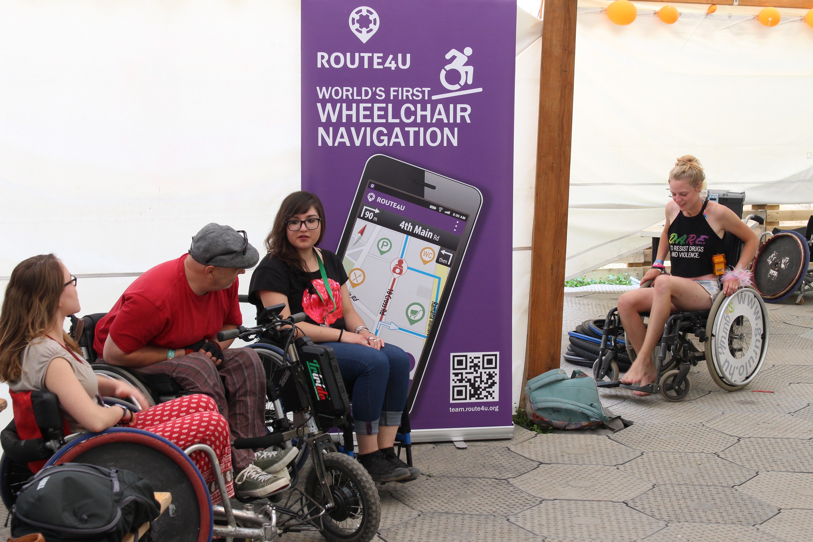
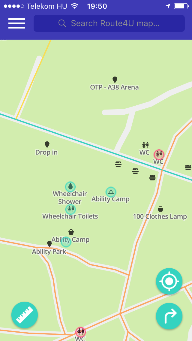
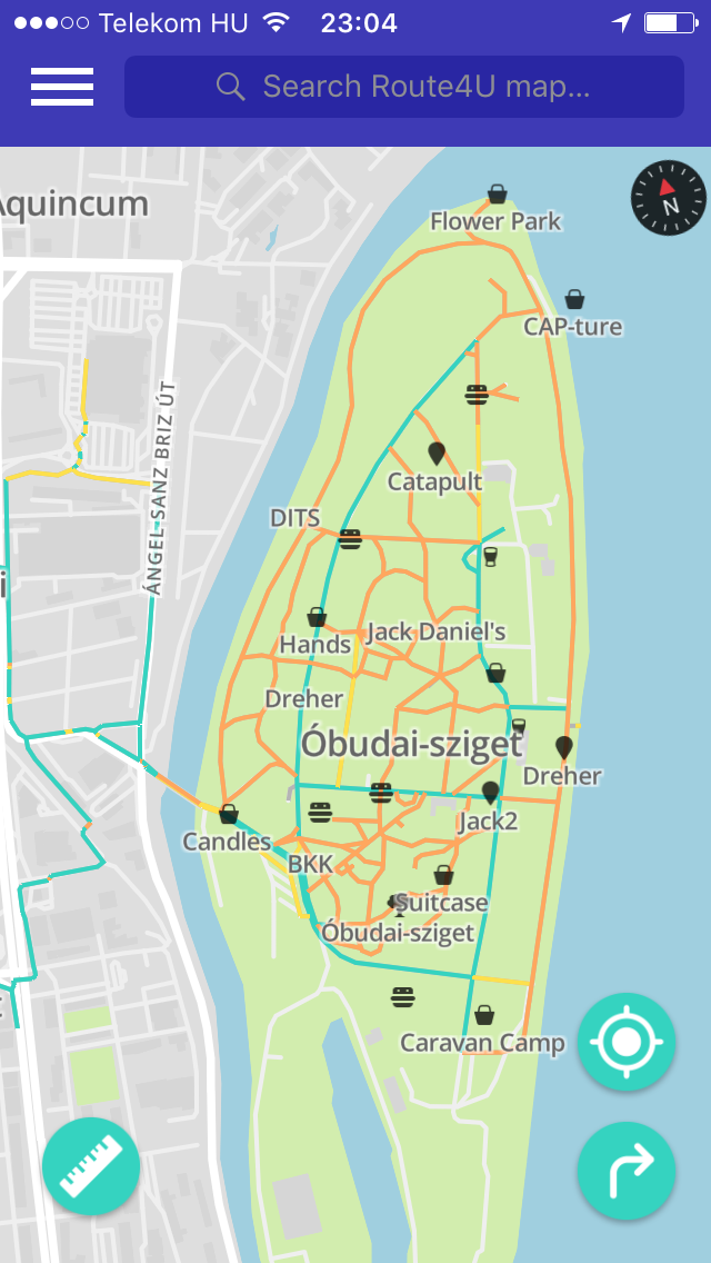
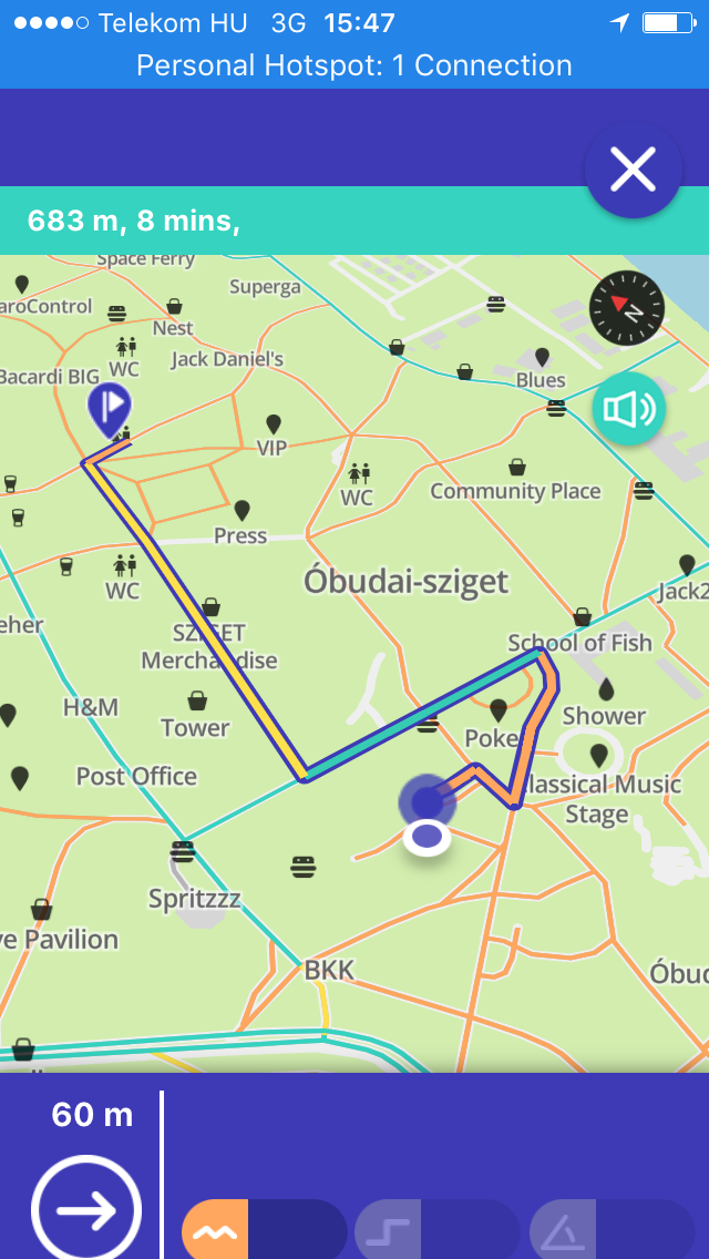
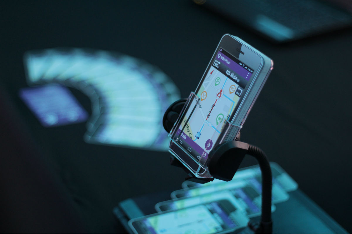
 The base of all this is city map with accessibility information. We create these, commissioned by local goverments by systemtically mapping sidewalks, curbs, slopes and services of a town or city. Thanks to our innovative technology, this is extremely fast and cost efficient, and also very cheap compared to city budgets. Personalized sidewalk navigation and search of the accessible services is available for the mapped areas shortly after our survey. We involve local organizations and the majority society in the survey. We raise awareness of the importance of equal opportunities with targeted, gamified communication campaigns. Thanks to our awareness-raising communication, it’s not uncommon that shops and other services of the city invest in accessibility plainly for business considerations. Don’t think about thousands of Euros here. Mounting a few Euros, bluetooth enabled disability bell on the outside of the shop not only helps a person in wheelchair, it also raises the prestige of the shop by making others content with the shop owners’ proactive behaviour. It also helps spreading the word and the idea.
 Thanks to the wheelchair users actively using Route4U, local governments can see the problematic points in the sidewalk infrastructure, making it possible to plan development or refurbishment priorities based on real-life data. Effective problem management increases voter satisfaction.
In our view, if we plan to achieve fast and spectacular results, we need more complex approach than that was available before.
We are confident that the issue can only be solved, if all parties of society take part in the process, and not because of obligations of law, but for their own interests. It’s not the City Leadership’s duty to know and solve every local problem themselves, but to operate as a catalyst to help setting up a chain reaction, which grows into a self-sustaining system.
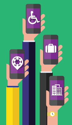
Role of the majority society is to realize their own interests in integration and to find opportunities in it. Route4U’s mission is to give platform to the most effective information flow between all actors. This is a “Smart City” answer to the problem of integration. This is why we built Route4U and this is how we’ll continue to build it in the future.
We call it Smart Accessibility.
Please contact us for further information about our solution.
![]()