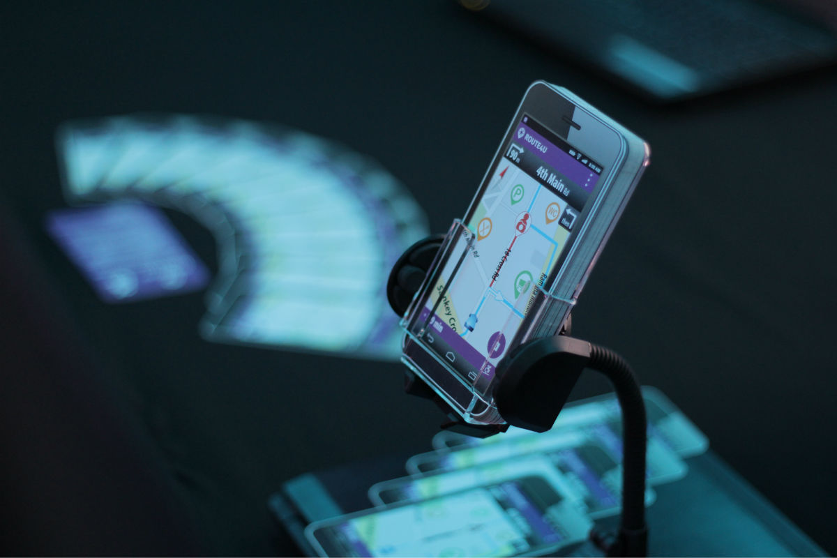
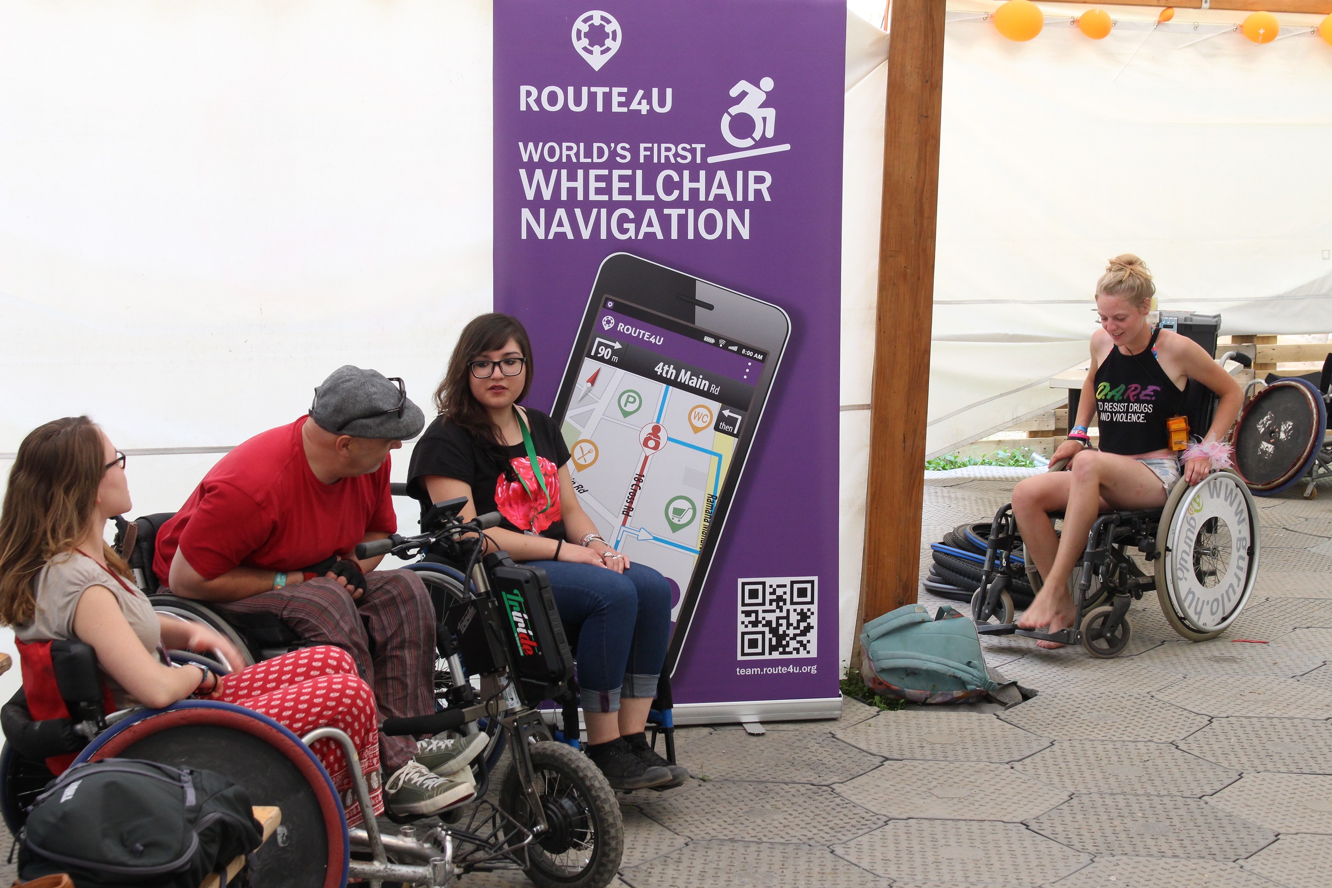
If you want to help the Route4U community make the world’s first sidewalk navigation solution truly useful, download the iOS app first here or the Android one here.
These are the ways you can contribute:
- assess places’ accessibility
- automatically map sidewalks and crossings
- notify others about obstacles
Sometimes categorizing places’ entrances or toilets is not easy, here’s some help:
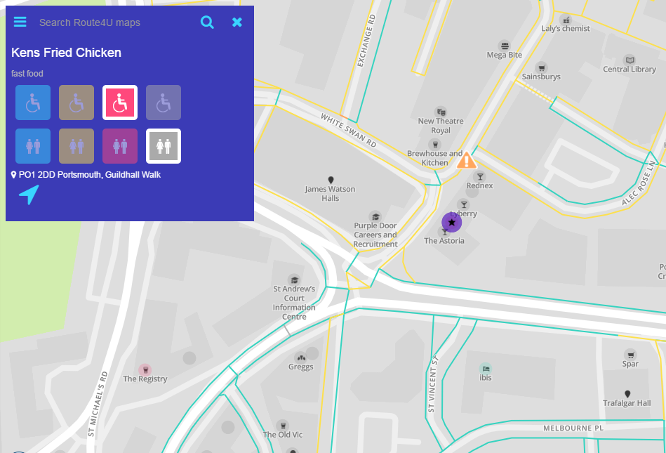
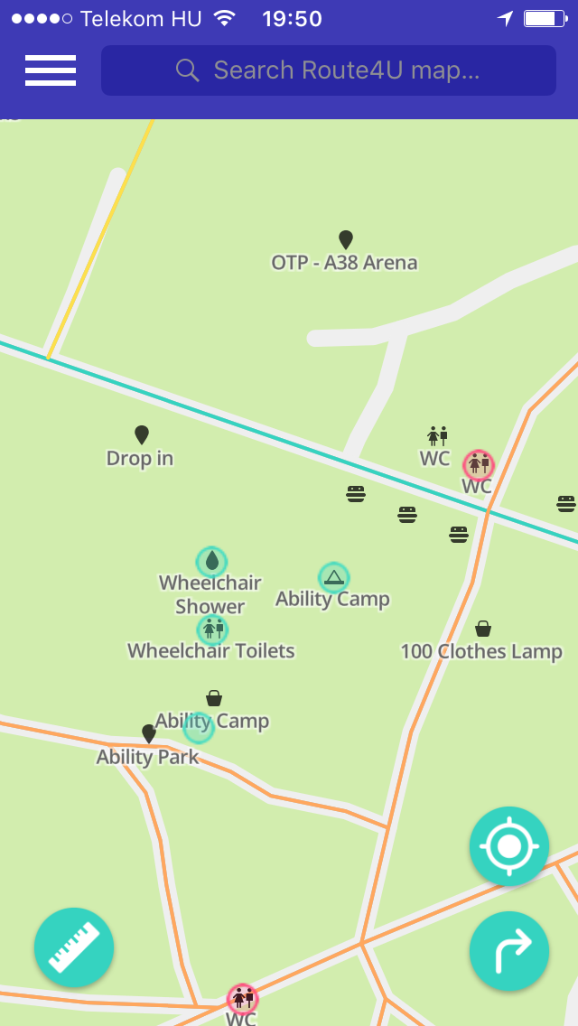
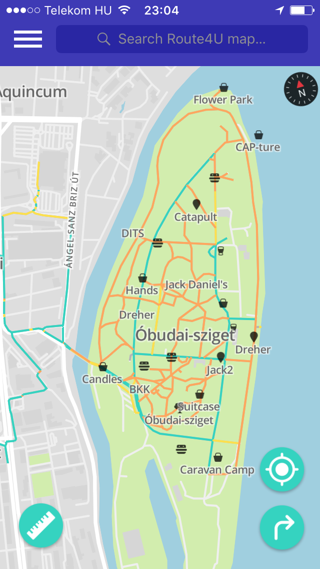
Places
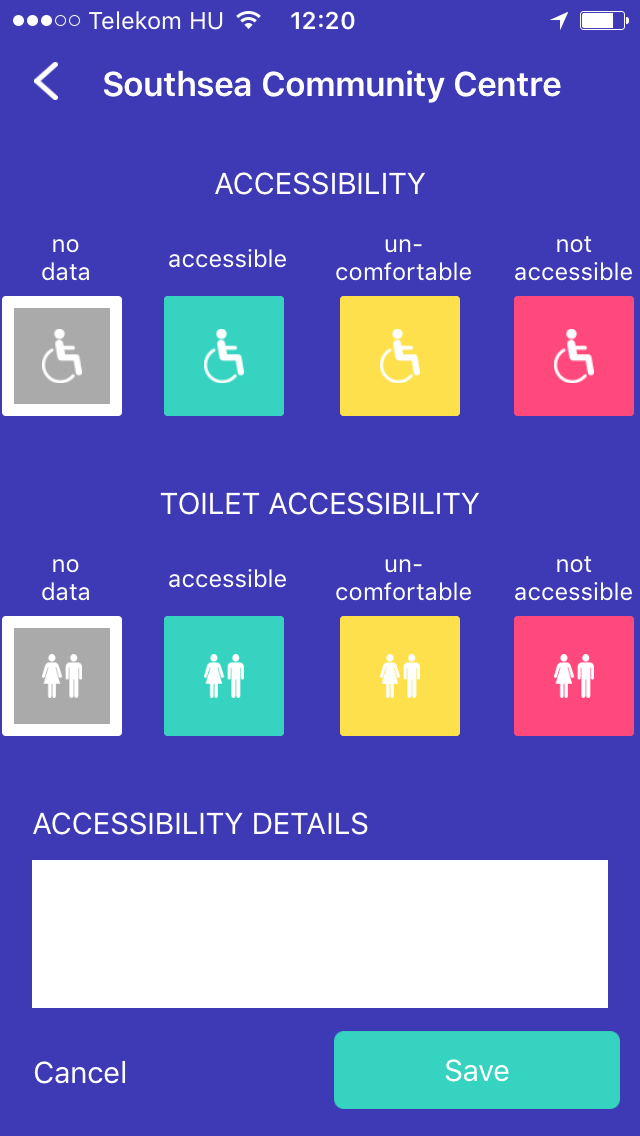
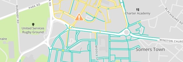
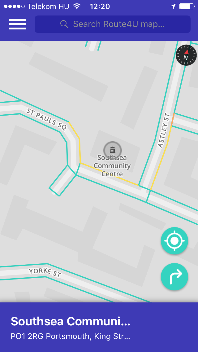
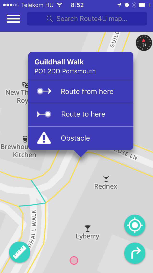
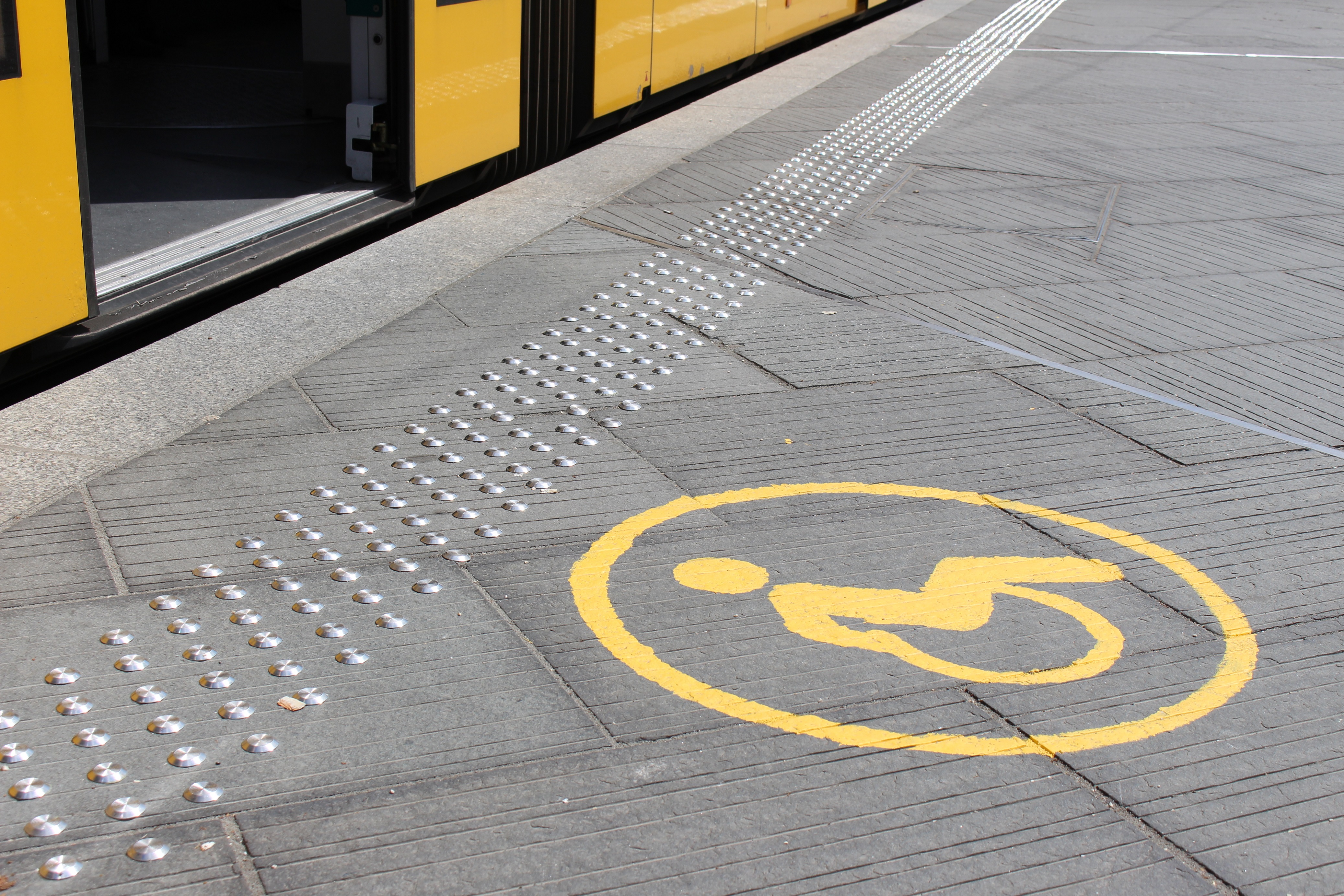
- By tapping any Place on the map, you see their accessibility info. If there is no information yet (it’s gray) or if you find it incorrect you can change it’s properties by tapping the pencil icon and set it according to your findings. You can also add text on relevant details at the bottom.
-
Green entrances
are level or the doorstep is max. 2 centimeters tall, the door is at least 120 cm wide, and there is no ramp in front of/behind the door. If assess a Place as green, be sure that there is enough space inside for wheelchair users, and that there are no stairs inside that limit movement.

-
Yellow entrances
are inconvenient for most wheelchair users, but are still usable alone for some, and with assistance for the majority. If you find hard to decide the type of an entrance. Please leave a description, so others will know the exact characteristics. Places with mobile ramps and/or working wheelchair bells are and should be yellow in Route4U.


-
Red entrances
are with a high doorsteps or are too narrow for most wheelchair users (<80cm) or have steep ramps leading up to them. Narrow entraces always fall into this category.


-
Green toilets
are big enough for an electric wheelchair user to turn around, are equipped with handrails and an alarm, door opens outside, mirror and sink are convenient to use in a wheelchair.

-
Yellow toilets
are missing at least one of the features of Green toilets, but are still usable for some. Please always include accessibility details at the bottom!

-
Red toilets
are either: too small, not enough space next to the toilet without handrails, the door opens inside or any combination of these.
Even if the entrance is accessible (Green) with wheelchair, there might be problems inside. These are:
- Not enough space to move/turn inside with a wheelchair conveniently. If this is the case, please assess the Point of Interest as Yellow

- If there are ramps inside that are possible to use alone, please assess the Point of Interest as Yellow

- If there are steep ramps or stairs in the way, please assess the Point of Interest as Red


- If the tables inside are too high, or there are tables that are inconvenient to use with a wheelchair, please assess the Place as Red


Join the community!
If all this is not enough, You can also join the fun by following our Facebook page . We regularly share information about the map and the apps (both iOS and Android) organize events and share interesting stuff about the world of accessibility.
We also created a Route4U – UK Mapping closed Facebook group where our UK-based users can share feedback about map data and the app in general. We also hope to build an active community of accessiblity enthusiasts
![]()
Want to know more about Route4U? Read our FAQ!


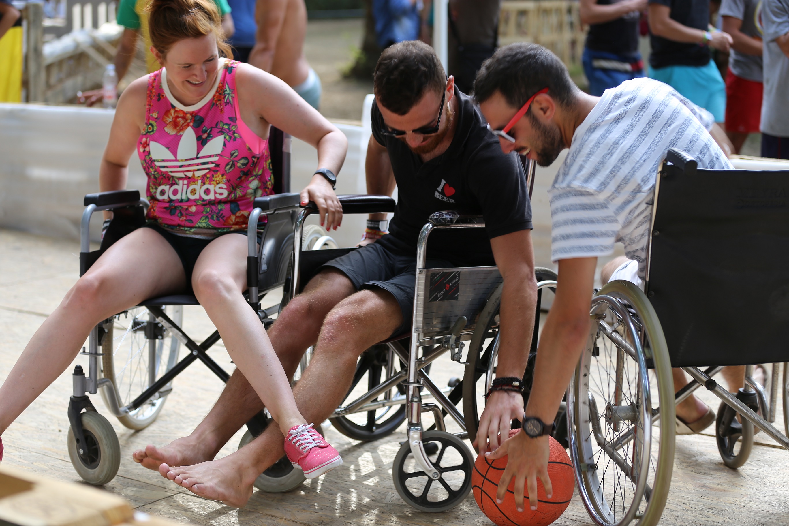
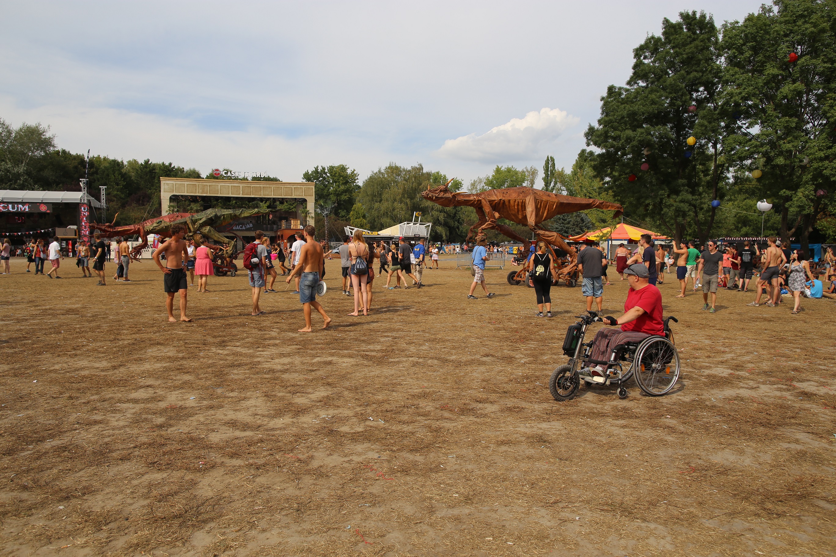
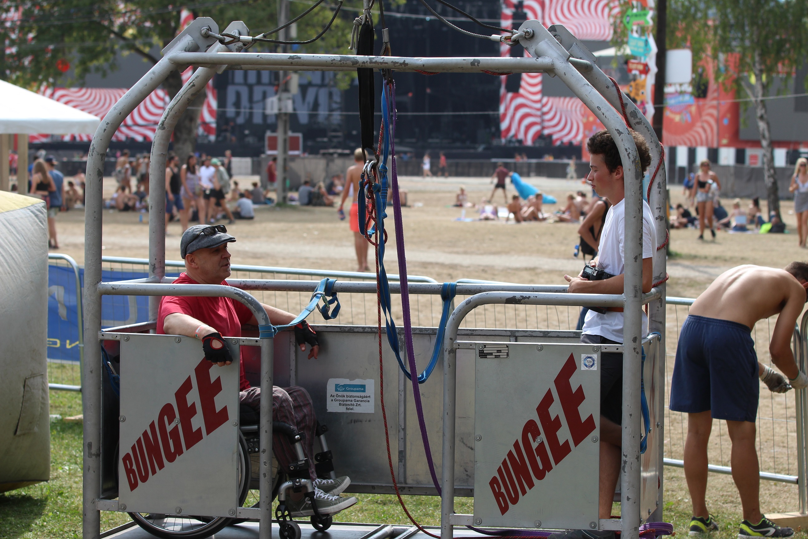
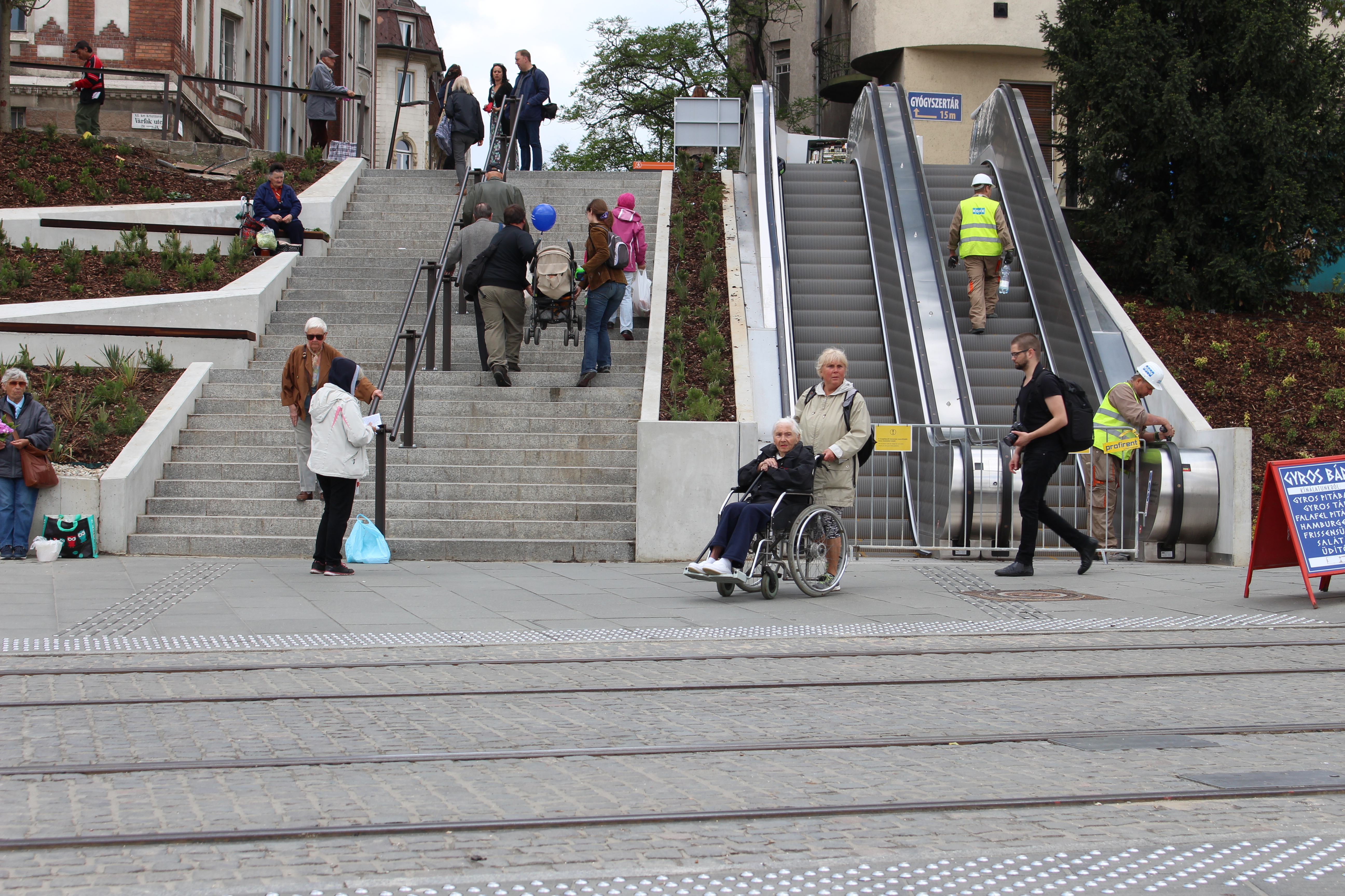
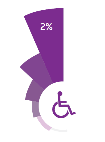 Today 2% of Hungary’s population is with reduced mobility. In towns and cities – since conditions are better – their percentage of the population is even higher. Based on census data, only 7% of working-age disabled people work. This puts huge stress on society. Another, Western European survey’s results show that more than 50% of non-working people with disabilites would love to, if the conditions were sufficient. Younger generations’ access to accessible education helps them grow into adults actively helping society, even on the job market.
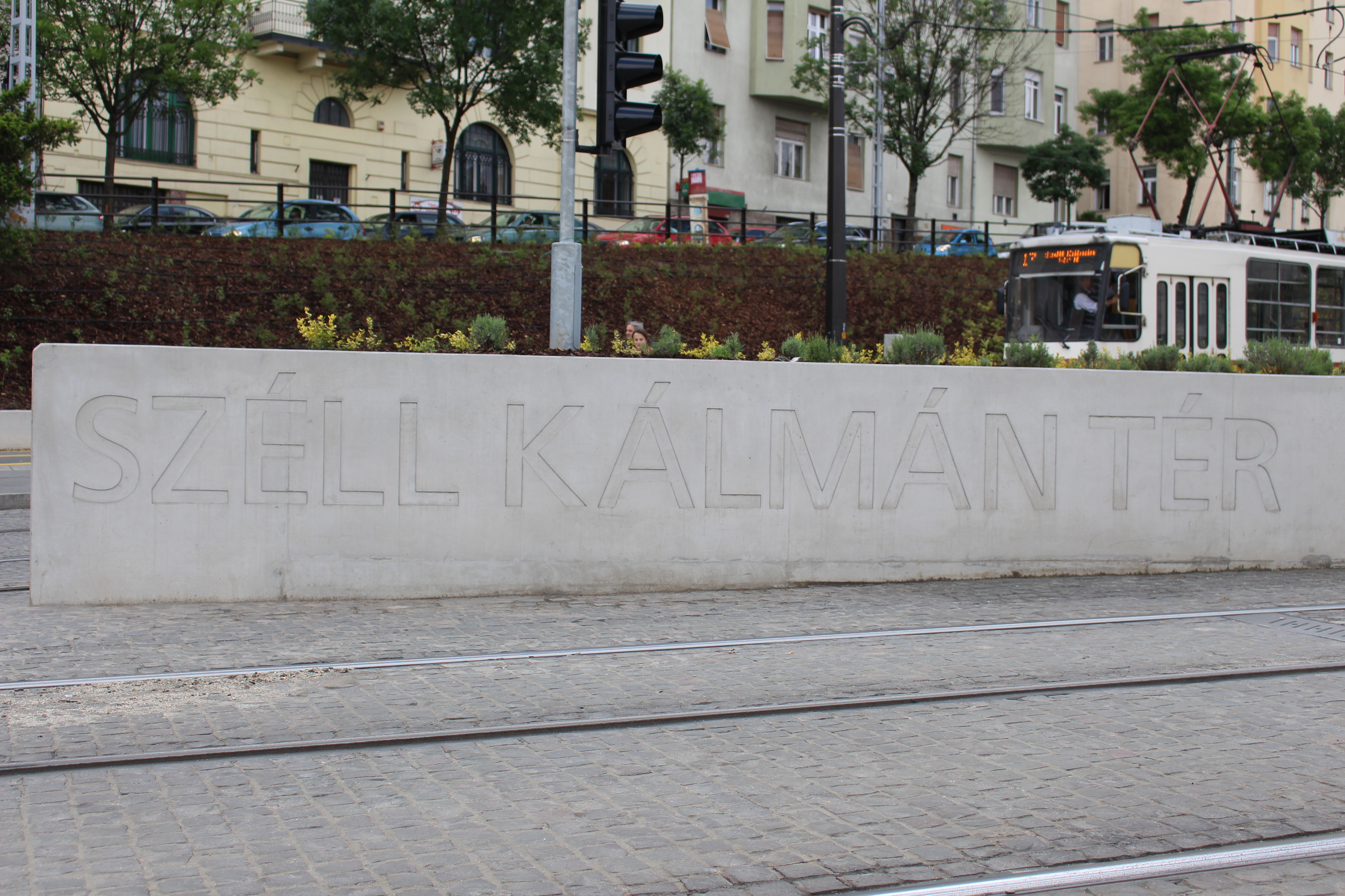
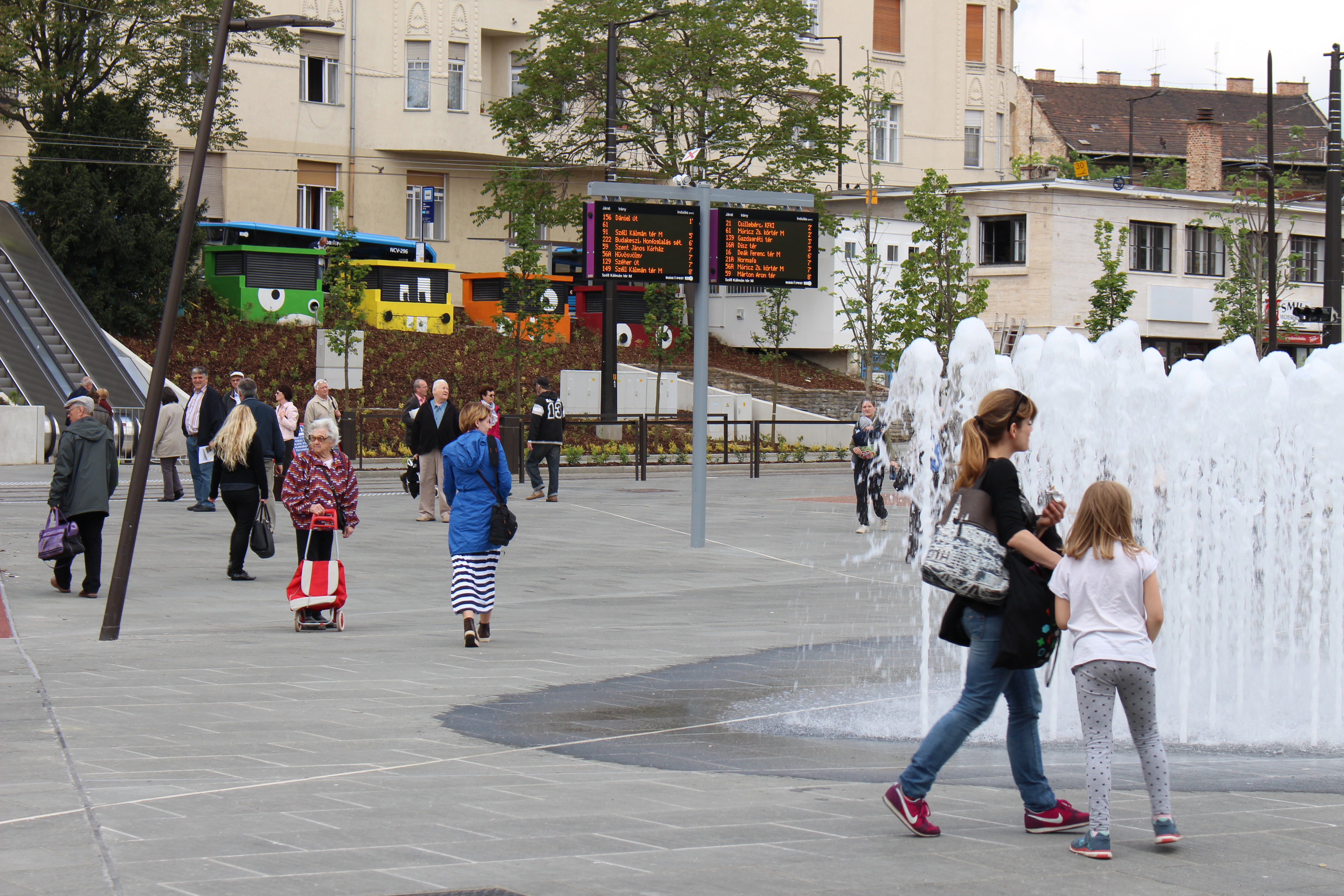
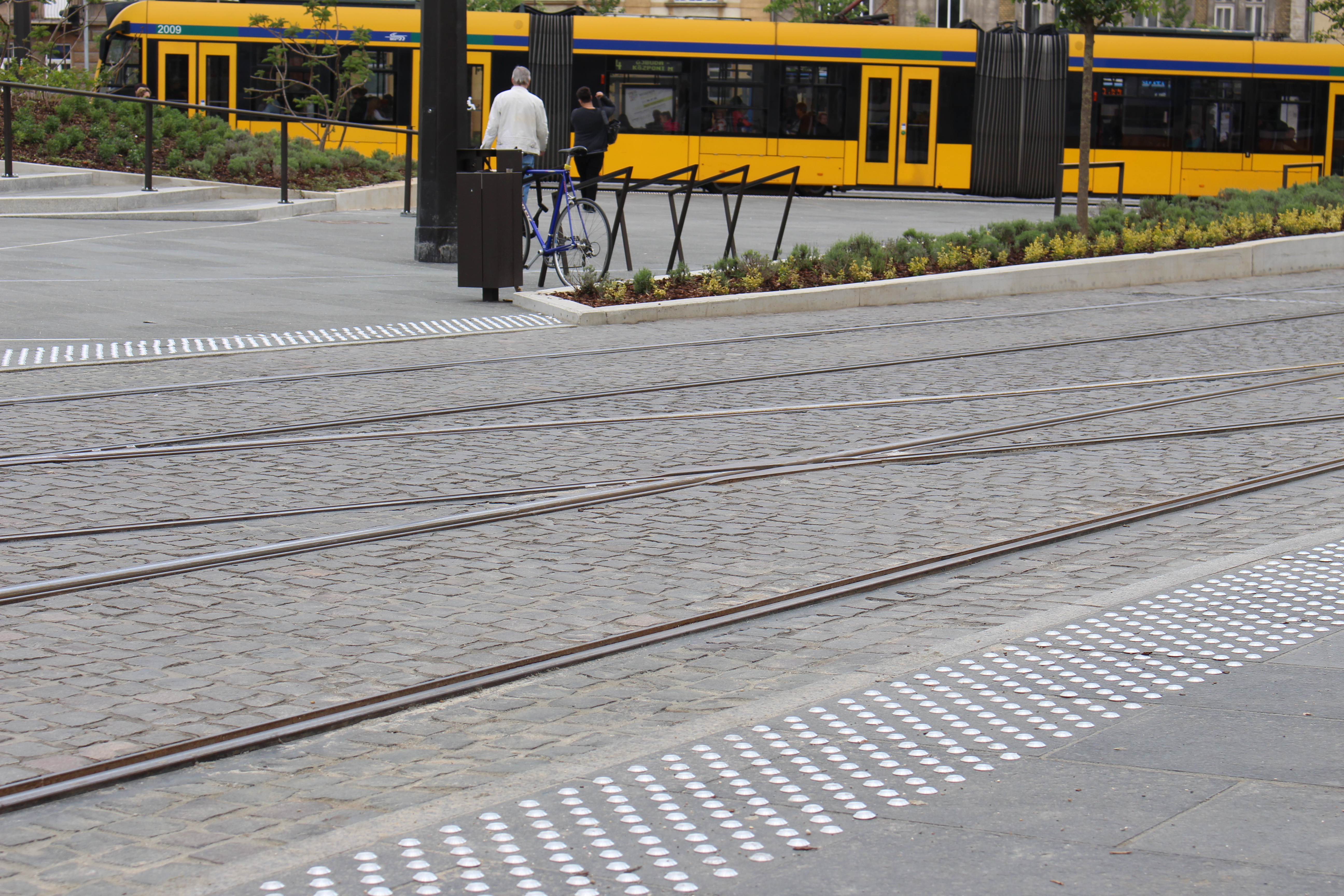
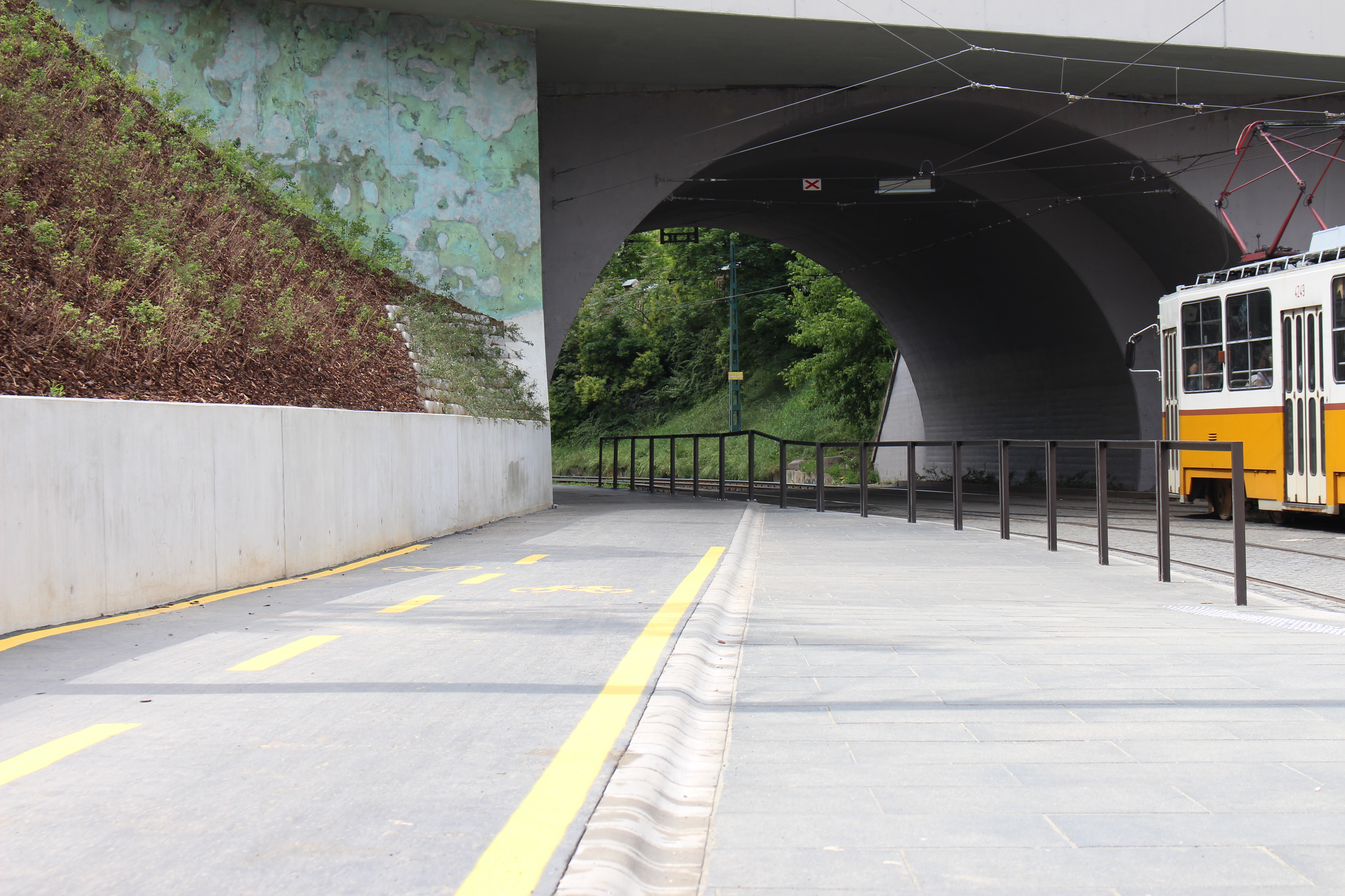
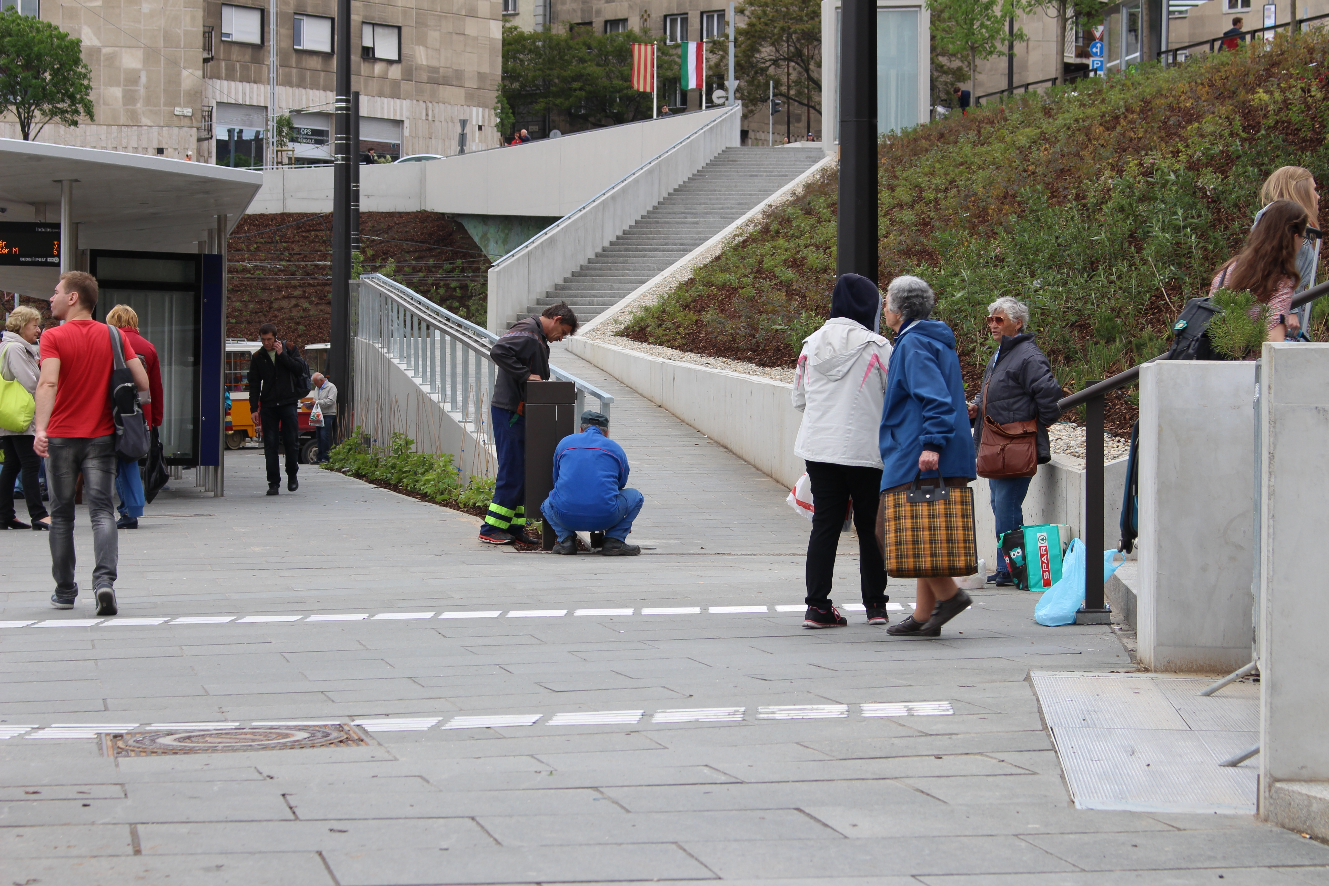
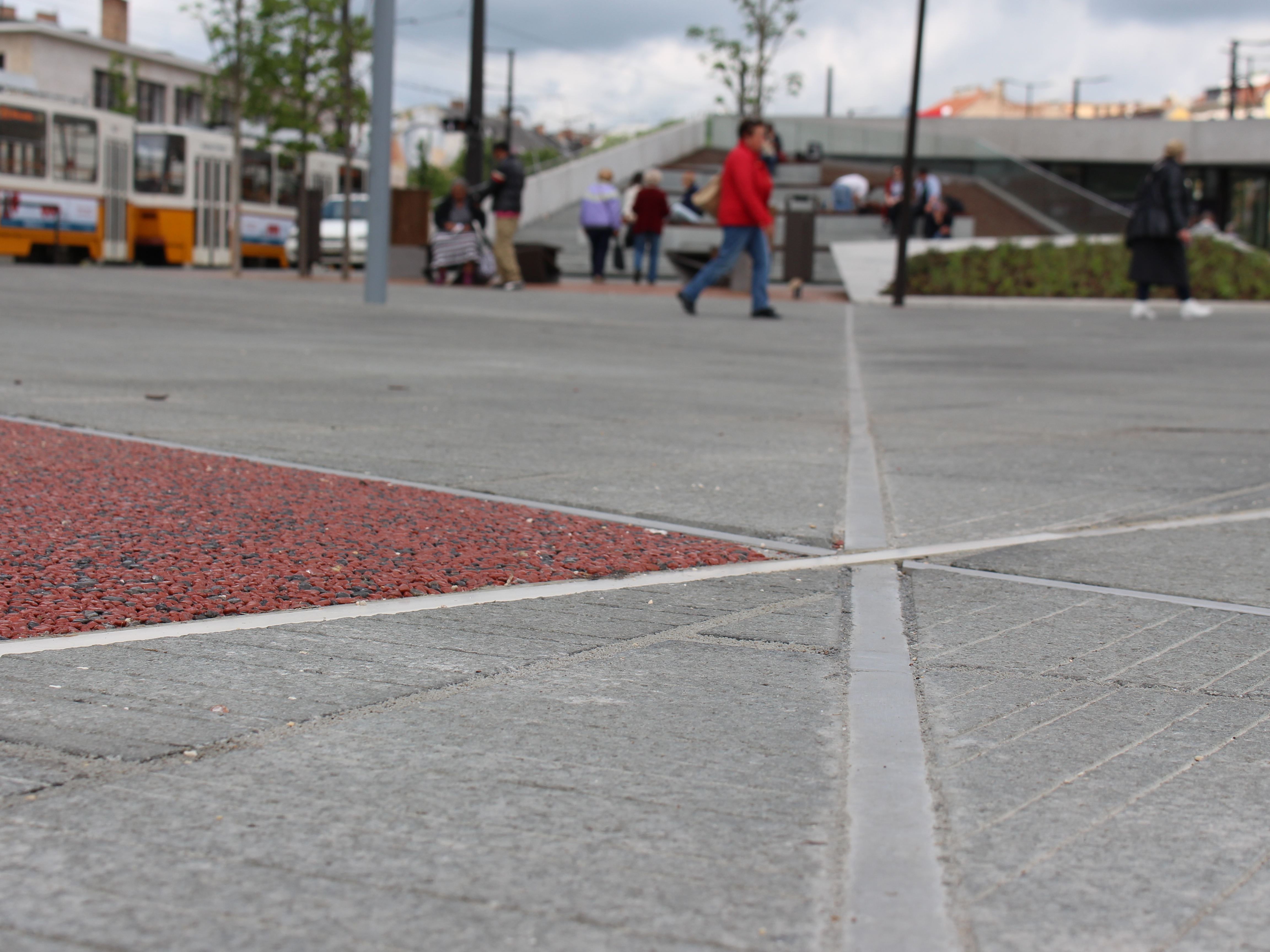
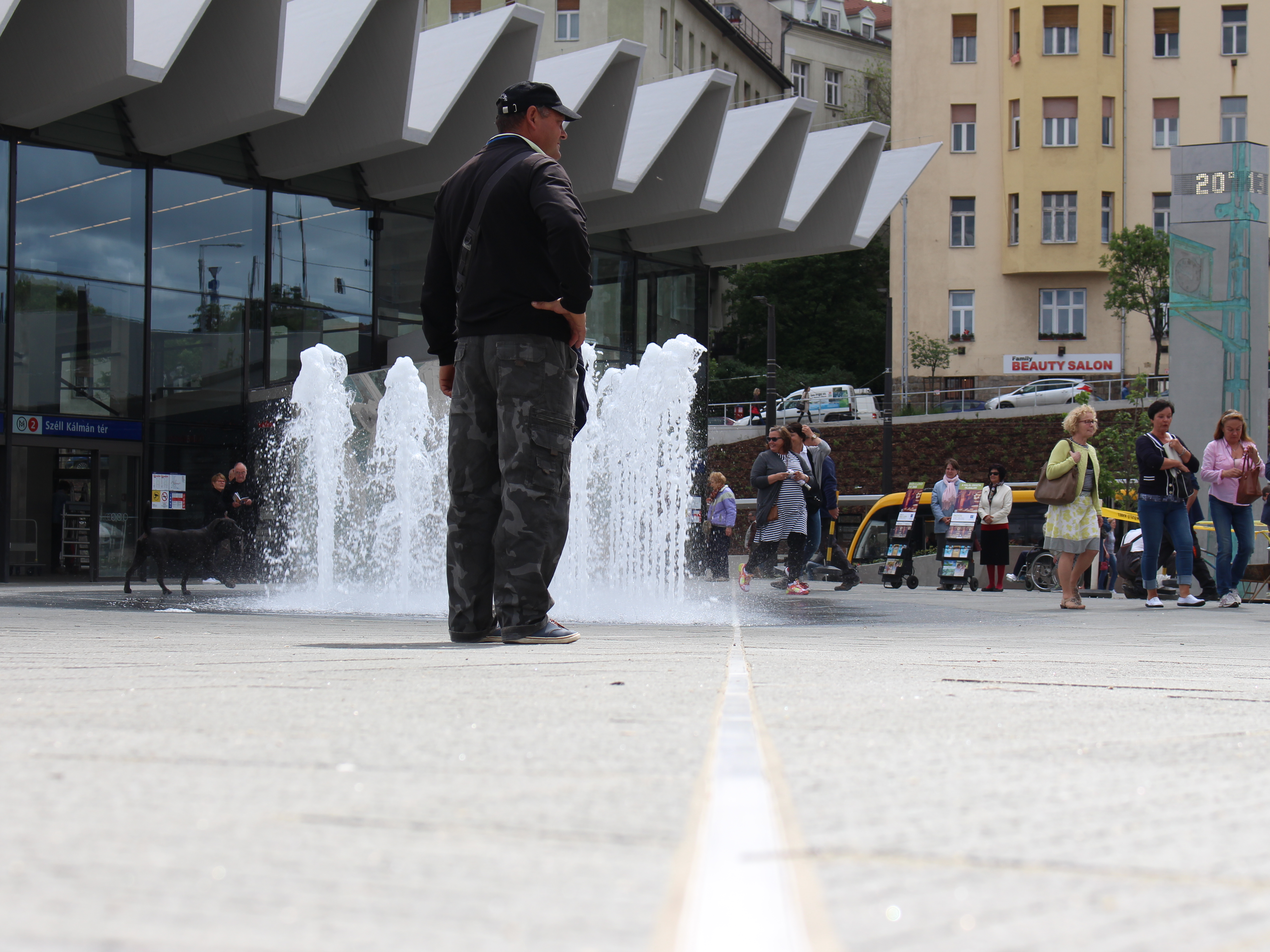
 The base of all this is city map with accessibility information. We create these, commissioned by local goverments by systemtically mapping sidewalks, curbs, slopes and services of a town or city. Thanks to our innovative technology, this is extremely fast and cost efficient, and also very cheap compared to city budgets. Personalized sidewalk navigation and search of the accessible services is available for the mapped areas shortly after our survey. We involve local organizations and the majority society in the survey. We raise awareness of the importance of equal opportunities with targeted, gamified communication campaigns. Thanks to our awareness-raising communication, it’s not uncommon that shops and other services of the city invest in accessibility plainly for business considerations. Don’t think about thousands of Euros here. Mounting a few Euros, bluetooth enabled disability bell on the outside of the shop not only helps a person in wheelchair, it also raises the prestige of the shop by making others content with the shop owners’ proactive behaviour. It also helps spreading the word and the idea.
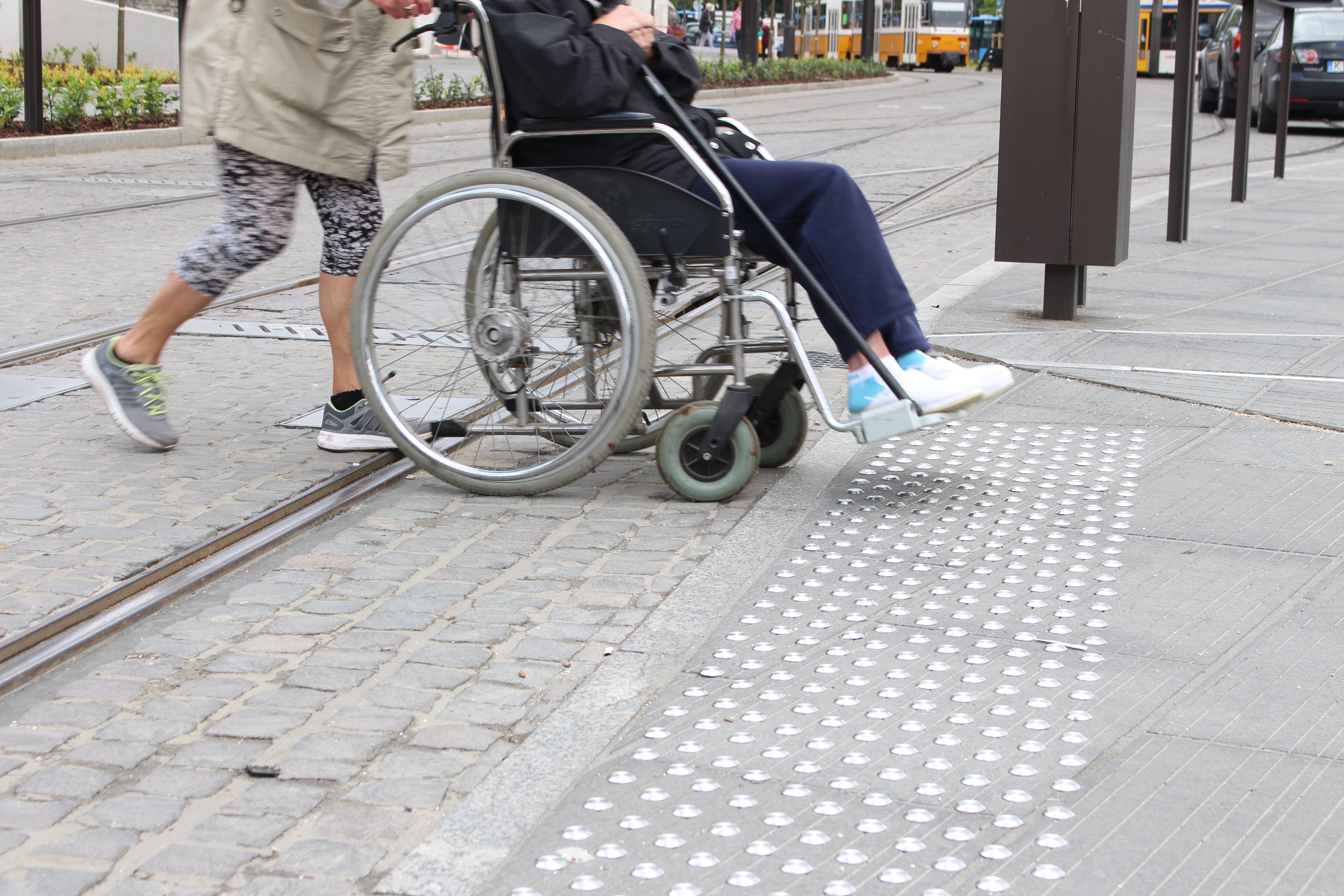
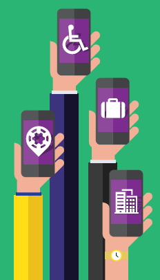 Thanks to the wheelchair users actively using Route4U, local governments can see the problematic points in the sidewalk infrastructure, making it possible to plan development or refurbishment priorities based on real-life data. Effective problem management increases voter satisfaction.


